Satellite Navigation & Communication
TerraXpace
TerraXpace is Malaysia’s first private company to own a Synthetic Aperture Radar (SAR) satellite, delivering state-of-the-art remote sensing solutions for various industries.
TerraXpace is an Earth observation and remote sensing company specializing in Synthetic Aperture Radar (SAR) and advanced satellite-based monitoring solutions. As the proud owner of Malaysia’s first SAR satellite, TerraXpace provides sovereign access to high-resolution Earth observation data and decision-making tools for industries, governments, and researchers.
Our satellite forms part of the AIRSAT constellation, comprising 48 SAR satellites and 200 high-resolution optical satellites, deliver high revisit time, all-weather, day-and-night imaging capabilities.
With locally developed SAR expertise, TerraXpace also provides Ground-Based SAR (GBSAR) and Compact SAR systems for precise, real-time surveillance and monitoring. We offer full lifecycle support including customization, system integration, local training, and maintenance services.
With end-to-end expertise in SAR, from ground-based, compact airborne-based and satellite-based SAR platforms, we support mission-critical decisions across energy, agriculture, environment, infrastructure, marine, and property sectors.
OUR TECHNOLOGY & SOLUTION
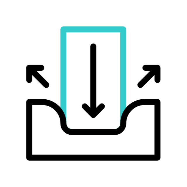
Land Deformation Monitoring
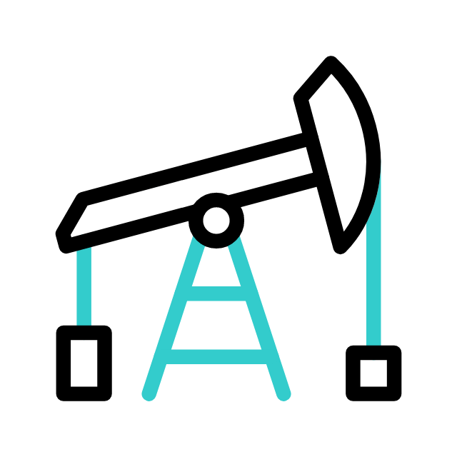
Oil & Gas Pipeline Monitoring

Marine Ecosystem Monitoring

Agriculture Monitoring & Planning
Property & Climate Risk Assessment

Our Technology
Malaysia’s First SAR Satellite
The TerraX SAR satellite, engineered with high-resolution spotlight (<1m) and stripmap (2m) modes, is purpose-built for on-demand tasking missions across industries.
As part of the AIRSAT constellation, it delivers responsive tasking with scalable revisit rates, supporting mission-critical decisions, enabling detailed monitoring.
TerraX’s satellite enhances data delivery capacity throughout Southeast Asia and globally.

Why SAR?
SAR imagery, especially when combined with optical data, provides the most comprehensive understanding of ground conditions, changes, and risks—regardless of environmental limitations.
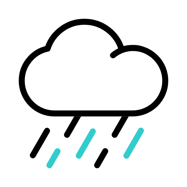
Operates in Cloud, Rain, and Haze

Object Identification

Works Day & Night 27/4
Detects Ground Movement

Consistent Monitoring Over Time
SAR Platforms & Services
Ground-Based SAR (GBSAR)
Stationary system for high-risk areas. Monitors slopes, dams, bridges, and tunnels. Real-time data for emergency alerts.
02
Compact SAR
Mobile, lightweight platform for UAV or ground use. Ideal for tactical surveillance and environmental response. Customizable for defense, mining, energy, and forestry operations.
03
Platform Services
Custom system design and integration. Software tools for visualization and analysis. Local training, technical certification, and maintenance support.

Industries We Serve
01
Government & Disaster Agencies
03
Utilities & Infrastructure
05
Agriculture & Plantation Companies
02
Oil & Gas Operators
04
Property & Insurance Firms
06
Environmental & Climate Research

Discover TerraXpace
Explore the cutting-edge technology of TerraXpace, a Malaysia-owned SAR satellite that is part of the global AIRSAT constellation. Benefit from local support, custom platforms, and training for all-weather, day-night coverage. Trust in our mission-critical intelligence for your most demanding needs.